For studio production heads
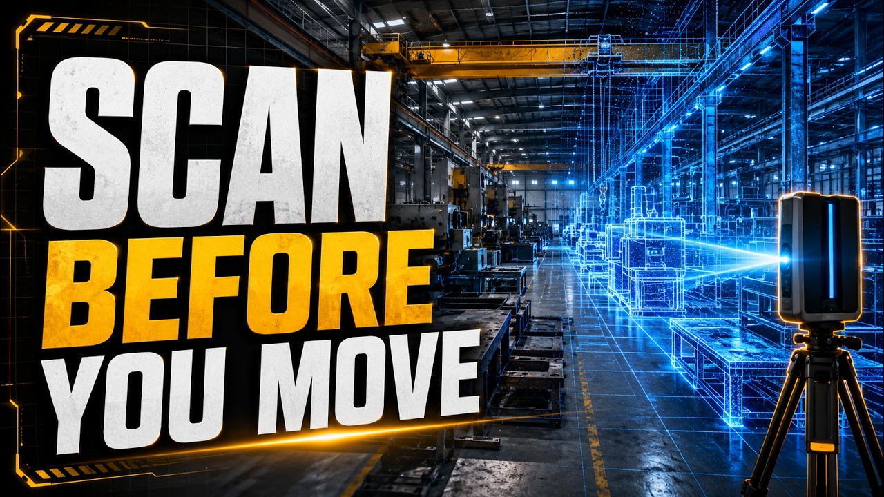
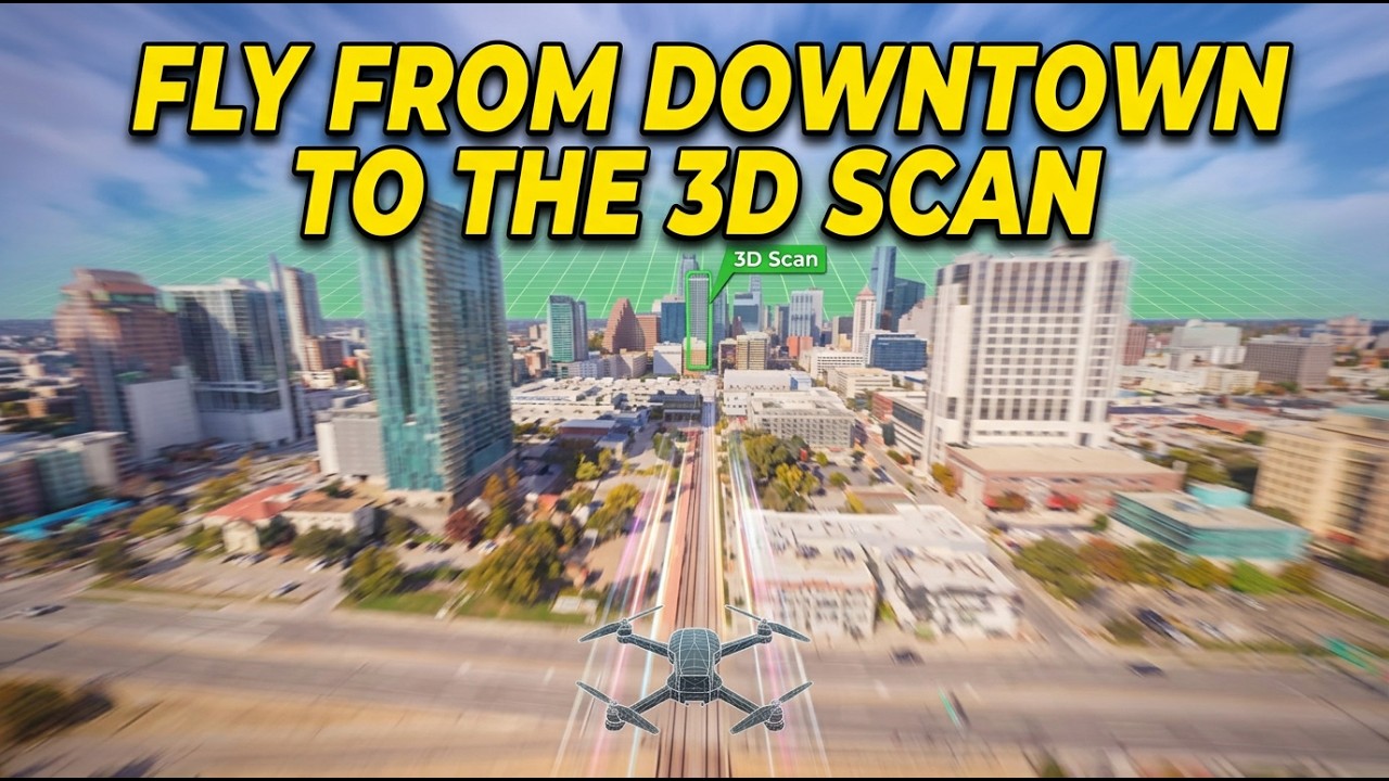
Scan the location. Shoot the plate.
Skip the guesswork.
We go on location and capture full scenes as high-fidelity 3D scans — the same set your crew is walking, rebuilt to scale for previs, virtual production, and set extension. Alongside that, we shoot native 12K VFX plates, so your comp team is never working from a downres.
FILM / VFX PRODUCTION REEL
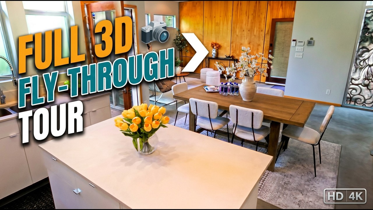
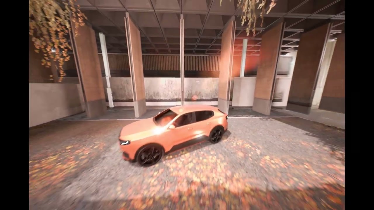
Loading 3D Scan
Interactive Gaussian Splat
What a production head gets: a to-scale digital twin of the stage or location for blocking, camera planning, and previs before a single truck rolls — plus native 12K plates ready for your VFX pipeline, not a phone-scan approximation.